Our product integrates a video-processing system capable of compressing in H.264/H.265 with controlled latency. It also embeds AI-powered algorithms — tracking, classification, and digital stabilization — to deliver the operator only the information that truly matters.
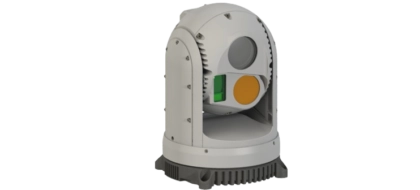
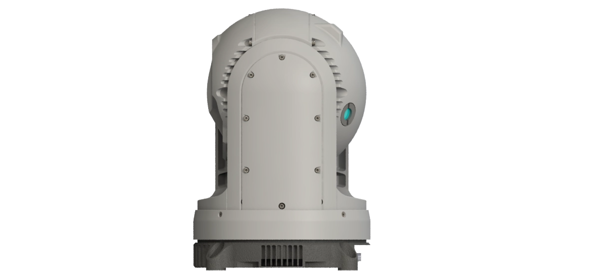
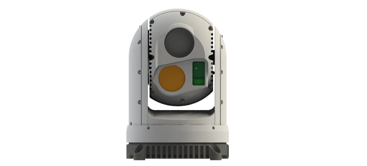
ORYX 12HD
Oryx 12HD is a high-performance gyrostabilized turret designed for land-based applications requiring enhanced imaging quality. Weighing approximately 2.0 kg, it offers an excellent balance between robustness and advanced capabilities. It integrates a 2-MP Full HD color camera (1920×1080) with an optical and digital zoom up to x360, ensuring precise long-range identification. Its uncooled LWIR infrared camera with SXGA resolution (1280×1024) provides high-definition thermal observation, day and night, with a zoom up to x8. The Oryx 12HD is equipped with a Class 1 laser rangefinder (1.55 μm) with a range of up to 12 km, and an optional Class 3B laser pointer. Designed for demanding operational environments, it delivers optimal stabilization, high reliability, and easy integration on land platforms.
Les caractéristiques
- EO : Full HD (1920x1080) avec zoom optique x30
- LWIR : uncooled SXGA (1280x1024)
- LRF : Portée 12km
- LP : 830nm
- Détection véhicule de jour : 20 km
New
Key Features
01
Battlefield proven
02
SWAP
03
Integrated Video Processing
04
French-European Components
05
Advanced Optronic Solution
06
Delivery Time
Complementary systems
Vision.AI
Vision.AI is our range of embedded video-processing solutions, designed to adapt to a wide variety of needs — from cost-effective, lightweight options to high-performance configurations for the most demanding applications. Natively integrated into our optronic systems, it optimizes image quality, bandwidth, and operational efficiency.
Key Features:
-
H.264 and H.265/HEVC codecs, with up to ×2 bandwidth reduction at equivalent quality.
-
Digital stabilization to mitigate vibrations and micro-movements, delivering a more usable image.
-
AI-powered algorithms for object tracking and classification, optimized for real-time performance according to the platform.
VisionControl
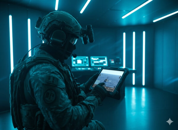
New Ground Control Station
Our next-generation ground station software pilots our gimbals with a resolutely user-centered approach. It enables mission preparation (adding points of interest, route planning, observation zones), real-time operations (sensor/effect control, algorithm management: tracking, classification, stabilization, auto modes), and recording of all data streams (video, telemetry, events) for fast and exploitable post-mission review.
User-friendly, modern, and responsive interface: clear dashboard, touchscreen and keyboard controls, customizable shortcuts, adaptive windows, and integrated map views. The goal: to reduce cognitive load, accelerate decision-making, and secure every phase — before, during, and after the mission.