Our product integrates a video-processing system capable of compressing in H.264/H.265 with controlled latency. It also embeds AI-powered algorithms — tracking, classification, and digital stabilization — to deliver the operator only the information that truly matters.
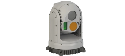
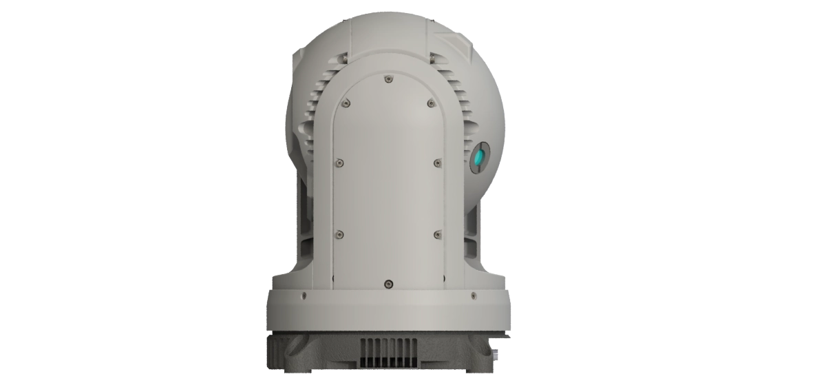
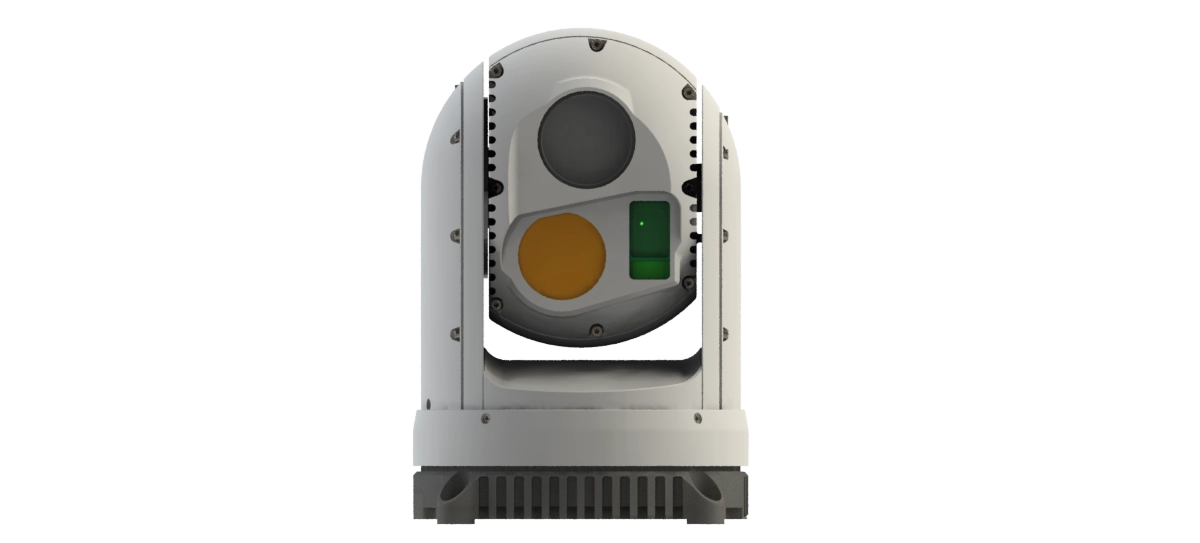
ORYX 12S
Oryx 12S is a lightweight and high-performance gyrostabilized turret dedicated to land-based applications. Weighing approximately 1.5 kg, it combines compactness and high precision for mobile platforms. It features a 2-MP Full HD color camera (1920×1080) offering a wide field of view and an optical and digital zoom up to x360, along with an uncooled LWIR VGA infrared camera providing day/night observation capabilities with a zoom up to x8. The Oryx 12S also integrates a Class 1 laser rangefinder (1.55 μm) with a range of up to 12 km, with an optional Class 3B laser pointer. Designed for demanding environments, it ensures optimal stabilization and high reliability under operational conditions.
Les caractéristiques
- EO : Full HD (1920x1080) avec zoom optique x30
- LWIR : uncooled SXGA (1280x1024)
- LRF : Portée 12km
- LP : 830nm
- Détection véhicule de jour : 20 km
New
Key Features
01
Battlefield proven
02
SWAP
03
Integrated Video Processing
04
French-European Components
05
Advanced Optronic Solution
06
Delivery Time
Complementary systems
Vision.AI
Vision.AI is our range of embedded video-processing solutions, designed to adapt to a wide variety of needs — from cost-effective, lightweight options to high-performance configurations for the most demanding applications. Natively integrated into our optronic systems, it optimizes image quality, bandwidth, and operational efficiency.
Key Features:
-
H.264 and H.265/HEVC codecs, with up to ×2 bandwidth reduction at equivalent quality.
-
Digital stabilization to mitigate vibrations and micro-movements, delivering a more usable image.
-
AI-powered algorithms for object tracking and classification, optimized for real-time performance according to the platform.
VisionControl
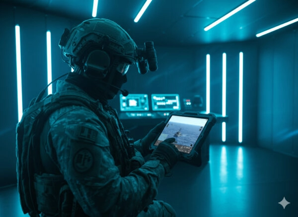
New Ground Control Station
Our next-generation ground station software pilots our gimbals with a resolutely user-centered approach. It enables mission preparation (adding points of interest, route planning, observation zones), real-time operations (sensor/effect control, algorithm management: tracking, classification, stabilization, auto modes), and recording of all data streams (video, telemetry, events) for fast and exploitable post-mission review.
User-friendly, modern, and responsive interface: clear dashboard, touchscreen and keyboard controls, customizable shortcuts, adaptive windows, and integrated map views. The goal: to reduce cognitive load, accelerate decision-making, and secure every phase — before, during, and after the mission.